Hello all,
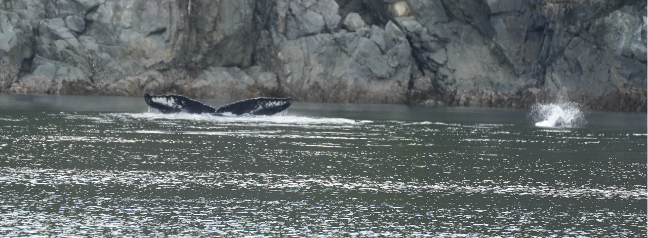
Today marks Day 26 of the expedition, and it’s been an incredible journey so far—busy, productive, and full of new discoveries. We’ve now had two whale encounters, the most recent being a solo humpback as we entered Blackfish Sound.
To date, we’ve studied 11 kelp sites along the east coast of Vancouver Island and surrounding areas. Today, we’re heading north. With some weather on the horizon, our route may shift, and we might need to adjust which kelp sites we can access. Regardless, I’m excited for what’s ahead.
Life on board is starting to feel more routine, especially the science work. We’ve collected a large amount of data—so much that I’m still working on transcribing it into the computer. For now, everything is safely recorded in our field notebooks.
Here are the sites we’ve surveyed so far:
- False Narrows
- Kanish Bay
- Octopus Islands
- Owen Bay
- Walkem Islands
- Broken Islands
- Pearse Islands East
- Pearse Islands West
- Donegal Head South
- Donegal Head North
- Nimpkish River
- Haddington Reef
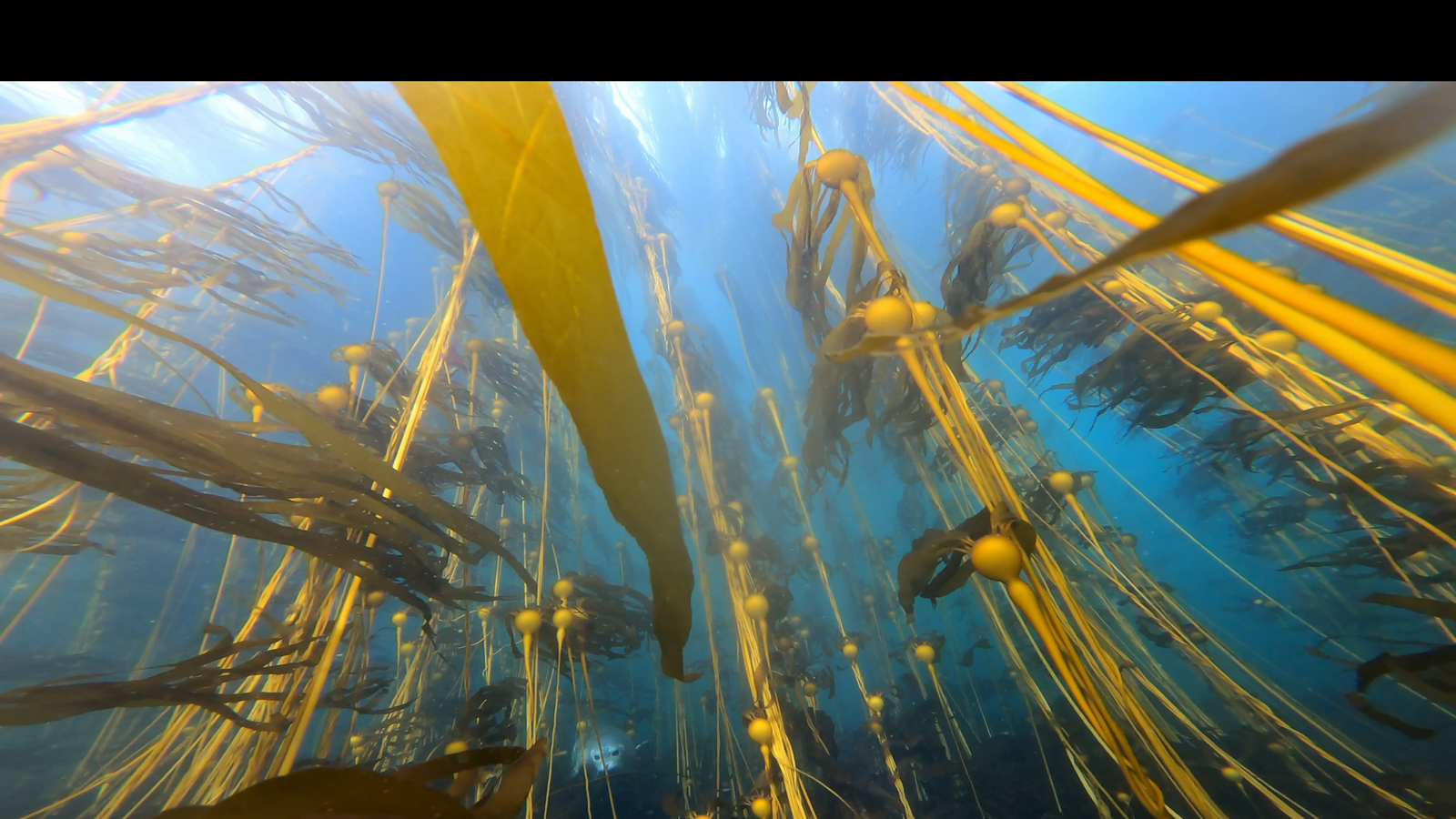
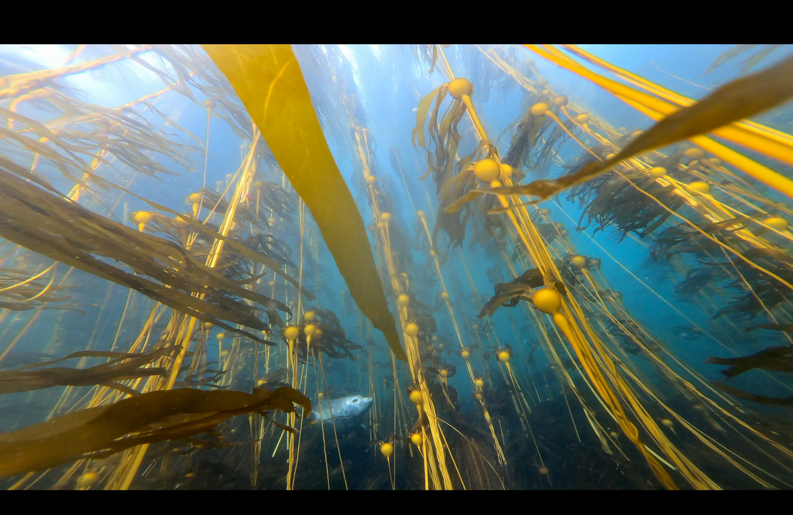
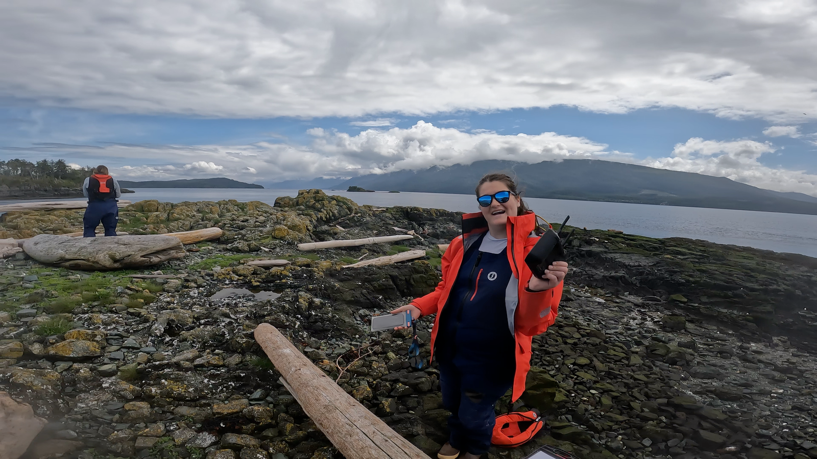
My favorite site so far has been Pearse Islands East. We spotted over 20 seals there, and it was one of the largest sites we’ve surveyed. We dropped the quadrat 17 times during slack tide, between 11:30 and 12:40. Afterwards, we used a GoPro mounted on a boat pole to film underwater footage about 10 feet below the surface, giving us a clear look at the kelp forest and the seafloor.
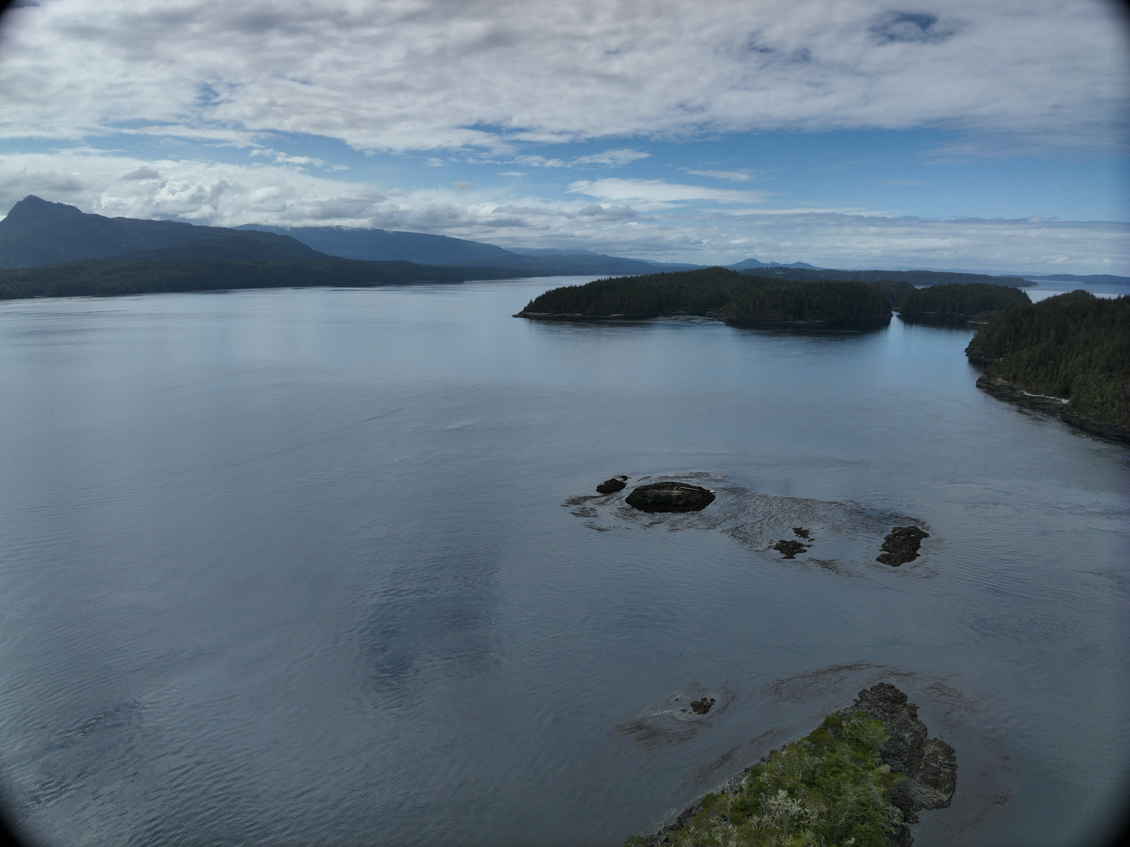
Next, we deployed the CTD sensor (measuring conductivity, temperature, and depth). By then, the current had picked up to about 1.5 knots, making things more challenging. We had to motor back to the mothership, grab the drone, and return to the site. Mike and Jennifer dropped me off on a small rocky islet so I could launch the drone. Despite the strong current, we managed to capture some solid aerial footage.
We also spent two nights in Alert Bay, where we met up with Janie, the founder and CEO of BC Whales, North Coast Cetacean Society. BC Whales is our partner in whale identification research and a remarkable organization working to protect and study whales in these waters.
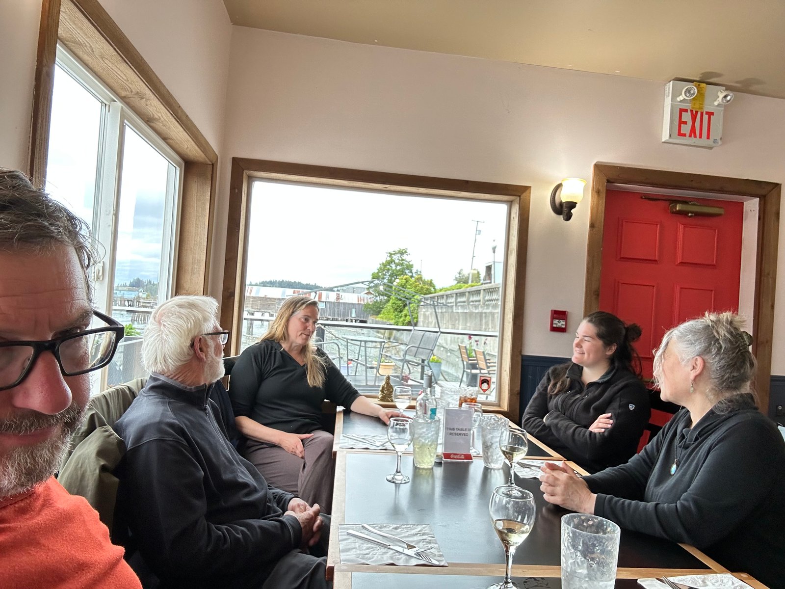
It was wonderful to reconnect with Janie, she was my supervisor during a past research assistantship at Fin Island, and her work continues to deeply influence me. Her dedication, and the organization she built, have played a major role in shaping how I approach marine science and conservation. Thank you, Janie, for taking the time to meet with us. We’re thrilled to be partnering with BC Whales on this expedition.
Next up: we’re making our way to the Hakai Institute and hoping to survey a few more kelp sites along the way. Things remain busy, but I’m excited to keep moving forward with the work.
From the field,
Grace