Image
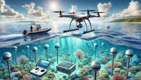
High-resolution aerial imagery captured using advanced drones. This technology allows us to survey vast areas with precision, providing critical insights into landscapes, ecosystems, and hard-to-reach locations. From mapping coastal changes to monitoring wildlife, drone imagery offers a bird's-eye view that enhances our understanding of the environment.